|
|
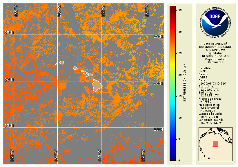
Sea surface temperature (SST) along the Main Hawaiian Islands,
measured by the Visible Infrared Imaging Radiometer Suite (VIIRS)
sensor onboard the NOAA/NASA Suomi National Polar-Orbiting Partnership
(S-NPP)
satellite on August 3, 2020.Credit:
NOAA CoastWatch/OceanWatch.
Click the image to view a larger version.
|

|
|
The connection might not be immediately obvious, but satellites that orbit
around the earth are a crucial tool in monitoring the environmental conditions
that cause coral bleaching. How can a satellite that is hundreds to thousands
of miles above the ocean help the coral colonies that grow below the surface?
On board some of these satellites is a critical sensor that measures the radiation
that comes from the surface of the earth, including the ocean, allowing us to monitor
the sea surface temperature (SST). On geostationary satellites (which we will cover
later in this section), these sensors include the Geostationary Operational Environmental
Satellite (GOES)-East
Advanced Baseline
Imager (ABI) ;
GOES-West ABI;
Meteosat Second Generation (MSG)
Spinning Enhanced Visible and Infrared Imager (SEVIRI);
and the Himawari-8
Advanced Himawari Imager (AHI).
On polar-orbiting satellites (which we also will discuss in this section),
these sensors include the NOAA-20 Polar Operational Environmental Satellites (POES)
Advanced Very High Resolution Radiometer (AVHRR);
Metop-B AVHRR;
and the Suomi National Polar-Orbiting Partnership (S-NPP)
Visible Infrared Imaging Radiometer Suite (VIIRS).
Because the satellites orbit around the earth,
NOAA and its partners measure SST around the entire globe multiple times per day, every day.
Please read on for more information about remote sensing, environmental satellite systems
operated by NOAA and its partners, and how these satellites measure the temperature
of the ocean surface.
;
GOES-West ABI;
Meteosat Second Generation (MSG)
Spinning Enhanced Visible and Infrared Imager (SEVIRI);
and the Himawari-8
Advanced Himawari Imager (AHI).
On polar-orbiting satellites (which we also will discuss in this section),
these sensors include the NOAA-20 Polar Operational Environmental Satellites (POES)
Advanced Very High Resolution Radiometer (AVHRR);
Metop-B AVHRR;
and the Suomi National Polar-Orbiting Partnership (S-NPP)
Visible Infrared Imaging Radiometer Suite (VIIRS).
Because the satellites orbit around the earth,
NOAA and its partners measure SST around the entire globe multiple times per day, every day.
Please read on for more information about remote sensing, environmental satellite systems
operated by NOAA and its partners, and how these satellites measure the temperature
of the ocean surface.
(top)