

|
|
Along with the worldwide data, we also focus in on representative coral reef locations around the world. We call these "Virtual Stations": it is like having a temperature sensor in the water next to a reef, but data are completely based on satellite remote sensing measurements. On the NOAA CRW website, we show time series graphs and data for each Virtual Station. You also can sign up for free automated e-mail alerts (now produced only for the 5km Regional Virtual Stations data -- not a part of this tutorial). The automated email alert system warns users if corals in the reef areas of most concern to them are at risk for bleaching. CRW's heritage 50km Virtual Stations were updated twice per week; the next-generation 5km Regional Virtual Stations and the associated 5km Satellite Bleaching Alert email system (not discussed in this tutorial) are updated daily. 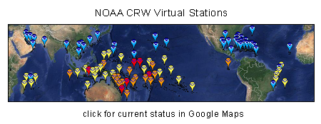
|
|
||||||||||||
|
|
||||||||||||||